Highway Capacity Software 2023
忠实实现《公路通行能力手册》方法的软件
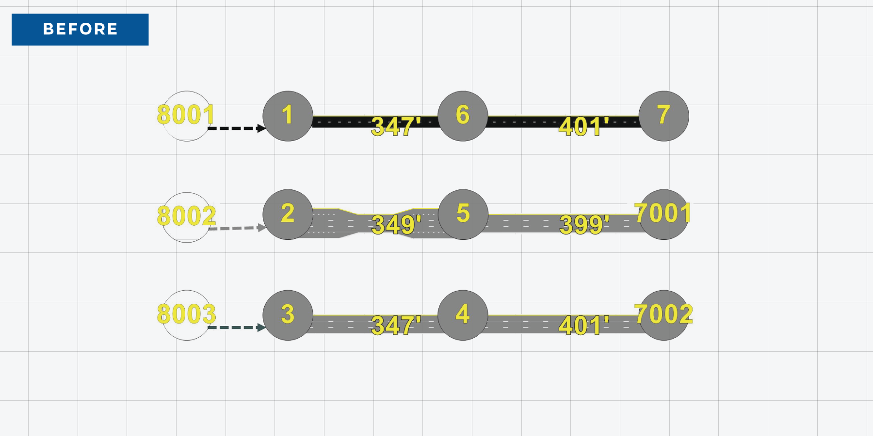
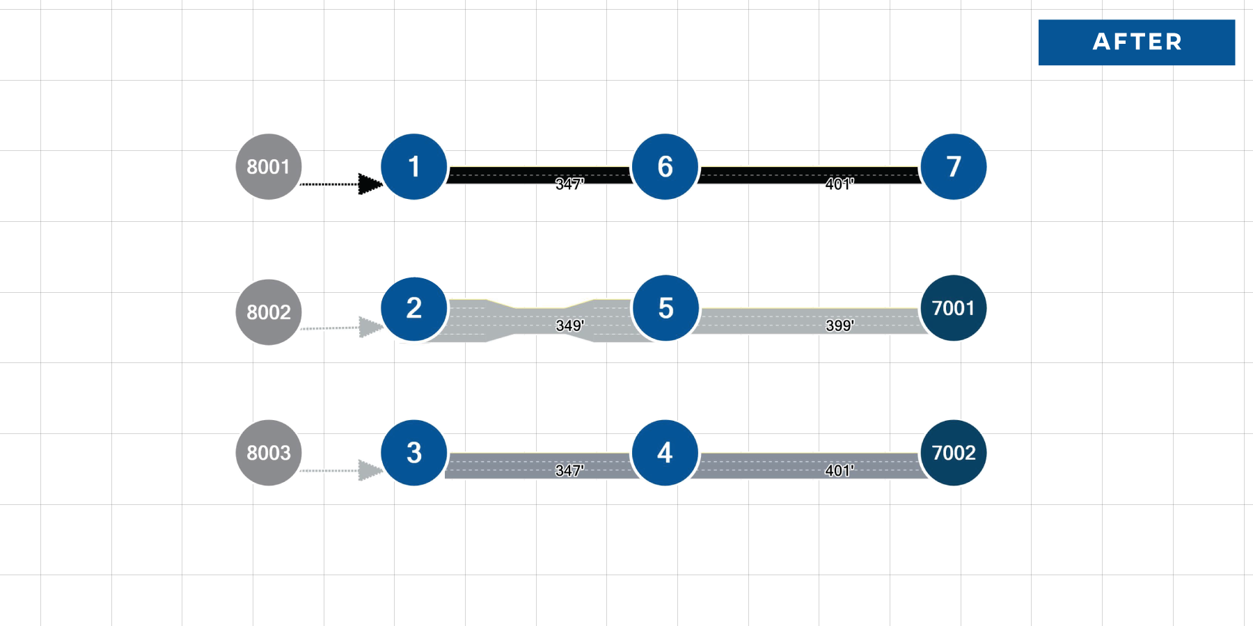
Slide the handle in the middle to compare the before and after images
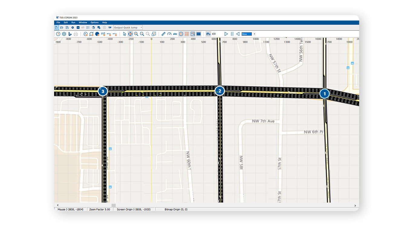
New Map View Design
A new appearance for Map View with a modern color scheme that makes it easier to distinguish between Freeway and Street elements
New Map-View Framework
TSIS-CORSIM’s Map View has moved to use Windows Presentation Foundation, which comes with a modern look and significantly improved interface performance.
全新的Bings地图界面
Bing Maps can be added as a background to your TSIS-CORSIM network.
轻松地定义和管理
交通分析项目
Integrated Files
Network Data is now edited through the CORSIM (.trf) file, which means no need to keep a separate TRAFED (.tno) file
Enhanced Project File Compatibility
Directly open files from:
- TSIS version 6.3 (TRAFED editor)
- HCS Streets, Unsignalized Intersection modules, and Freeways (HCS7 and newer)
Toll Plaza
TSIS-CORSIM can model toll lanes with different settings, including automatic and manual booths, plaza lane-changing logic, free lanes, temporary lane closures, vehicle restriction on selected lanes, and animations and all lane-based MOEs
Bing Maps
- Bing Maps support for the background of TRAFVU networks
- Improved performance for network background images
Input Validation
Improved input validation to ensure modeling accuracy
Curvature
Graphical road curvature can be added to links to show a more accurate representation of a network for modeling
Scenario Generation with Growth Factors
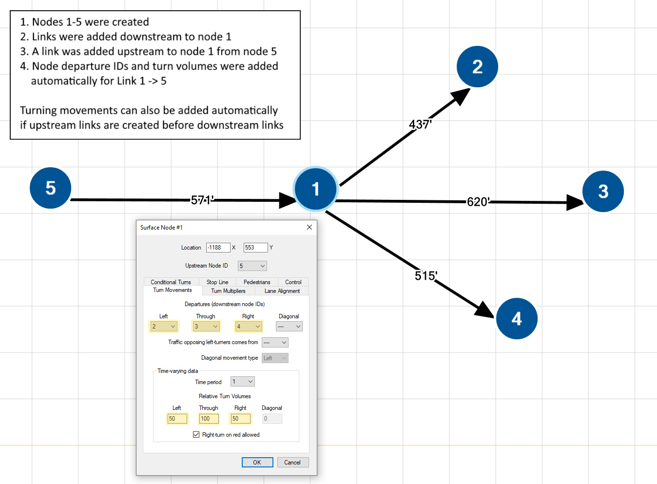
Ability to modify all node volumes and/or turn movement volumes with a growth factor
Updated Design
A modern user interface for Windows 10 and 11 Usability
用户界面
- Undo (Ctrl+Z) and Redo (Ctrl+Y) commands are available for all dialogs, including the Map View interface and Text Editor tool
- Quickly search through the extensive CORSIM text report

