Enhanced Sorting Logic in the Text Editor
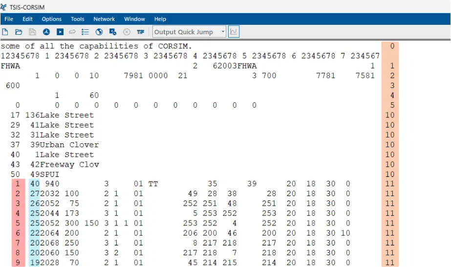
The text editor now includes enhanced sorting logic to improve usability and efficiency. This upgrade simplifies the process of identifying and modifying specific simulation Record Types, assisting users in managing large and complex networks.
Sorting Methodology: Rows in the text editor are now sorted in a hierarchical manner. This structured approach to sorting allows users to quickly locate specific links or nodes within the simulation data, reducing the time spent searching for and editing entries. The enhancements aim to provide users with a more intuitive and efficient simulation experience.