Industry Standard for Macroscopic Traffic Analyses
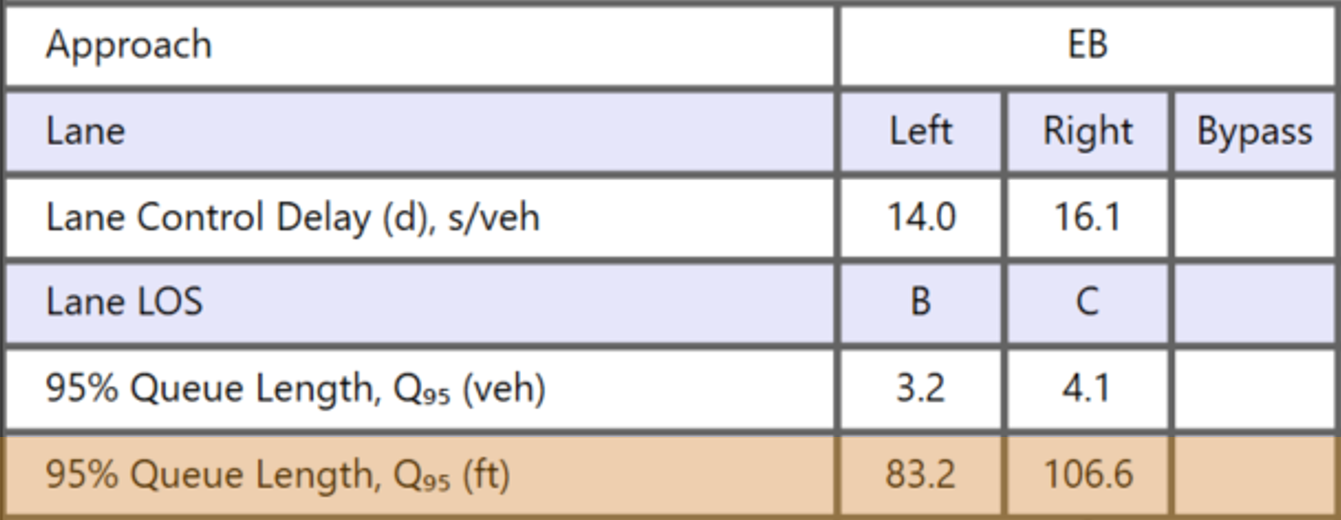
HCS is a robust macroscopic traffic simulation tool designed for transportation professionals to conduct surface road analyses and assess the operational performance of almost any surface street. Trusted by transportation professionals in government agencies, consulting firms, and academia, HCS delivers results that fully comply with the Highway Capacity Manual, making it the preferred choice for reliable traffic analysis.
New Version
HCS 2026
HCS 2026 includes a new converter and redesigned freeway reports. Learn more about the latest updates!
Module Highlights
Get Started
Resources to Succeed
Applications
Planning-Level Analyses
Long-range transportation planning
Initial screening of alternatives
Feasibility studies
Operational Analyses
Traffic impact studies
Evaluation of future conditions
Build multiple scenarios
Travel Time Reliability
Long-term variations of travel time
Cyclical variations of traffic demand
Effects of weather, incidents, and work zones
Integration
Integration with HSS
Import HSS safety results
Export Freeways and Highways project files to HSS
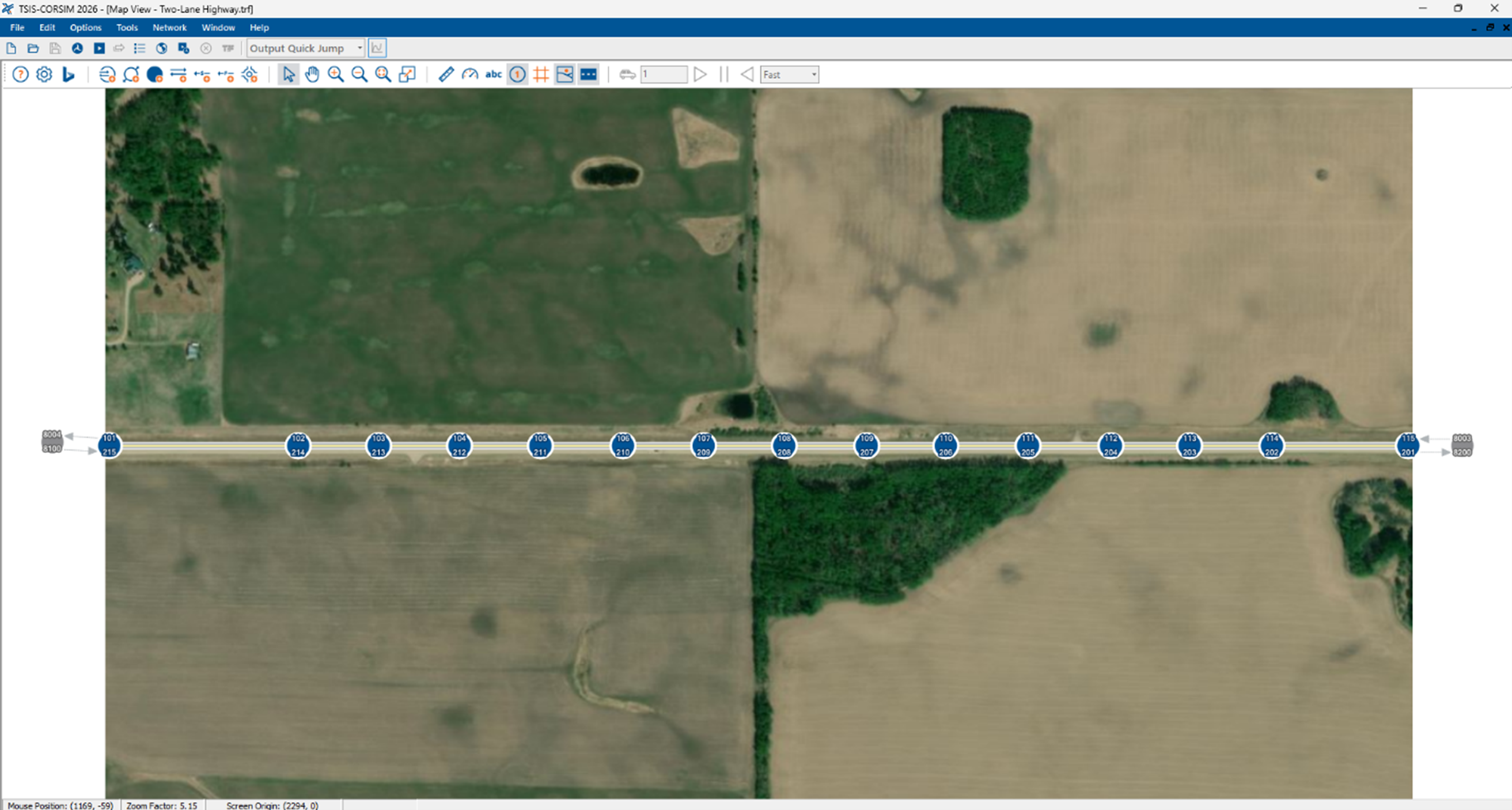
Integration with TSIS-CORSIM
Export arterial corridor model and settings to T7F or as animation in TRAFVU
Import T7F timing optimization
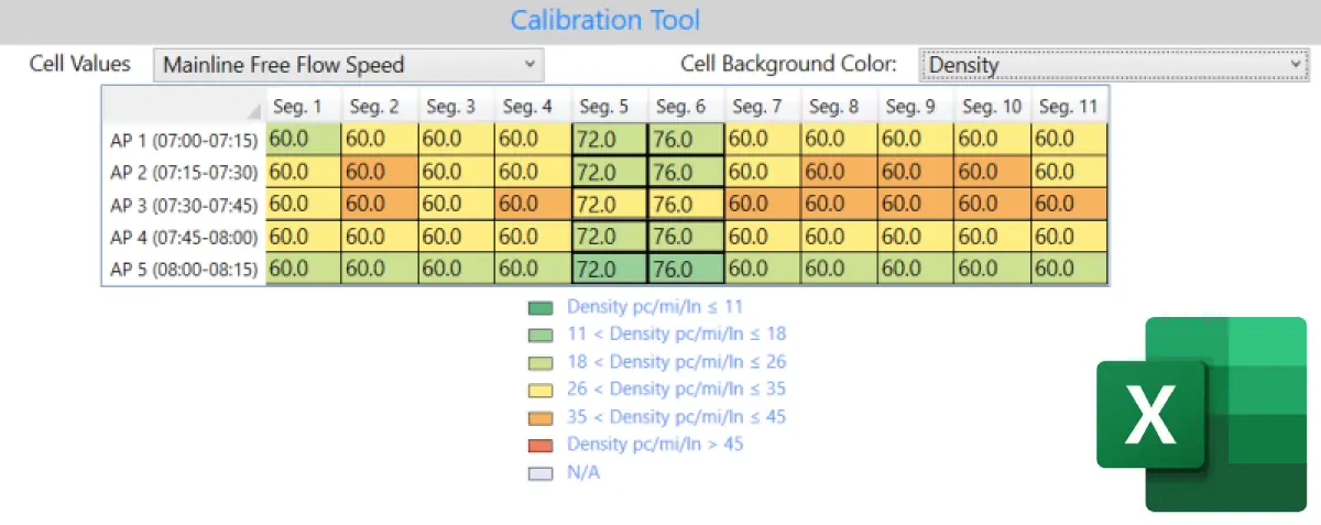
CSV Input and Output
Comprehensive CSV input/output functionality enables users to copy/paste data easily to/from external data sources, reducing errors and data entry time.
Unit System
Full unit conversion from/to metric system
Legacy Software
Includes Legacy HCS7 (HCM 6th Edition) modules
Includes Legacy HCS2010 (HCM 2010) Streets module
Includes legacy HCS+ (HCM 2000) Arterials, Interchanges, and Signals modules
Analysis and Methods
Analysis of Connected and Automated Vehicles
Model CAVs in the traffic mix for long-range planning analyses as a function of CAV market penetration. HCS implements this impact for freeways (basic, merge, diverge and weave segments, and facility analysis) as well as roundabouts and signalized intersections.
HCM Methods for Pedestrians
Updated analysis at TWSC intersections and uncontrolled crossings. This model can cover 15 types of safety treatments, allowing practitioners to plan for multimodal urban transportation and more livable cities.
Service Volume Tables
New service volume tables, including the impact of CAVs for different freeway segment types.
Scope of Freeway Analysis
Facility and Segmentation
Lane-by-Lane Analysis
Multi-period Analysis
Oversaturated Conditions
Travel Time Reliability
Managed Lanes (HOV, HOT)
Incidents
Work Zone Analysis
User Delay Cost
Scope of Arterial and Streets Analysis
Pre-timed Control
Actuated Control
Coordinated Control
Travel Time Reliability
Signal Timing Optimization
Facility / Segment Analysis
Work Zone Analysis
Access Point Analysis
Scope of Interchange and Alternative Intersection Analysis
Diamond Interchange
Diverging Diamond Interchange
Partial Cloverleaf
Displaced LT / Continuous Flow Intersection
RCUT / Super Street
MUT / Michigan Left
Single-Point Urban Interchange
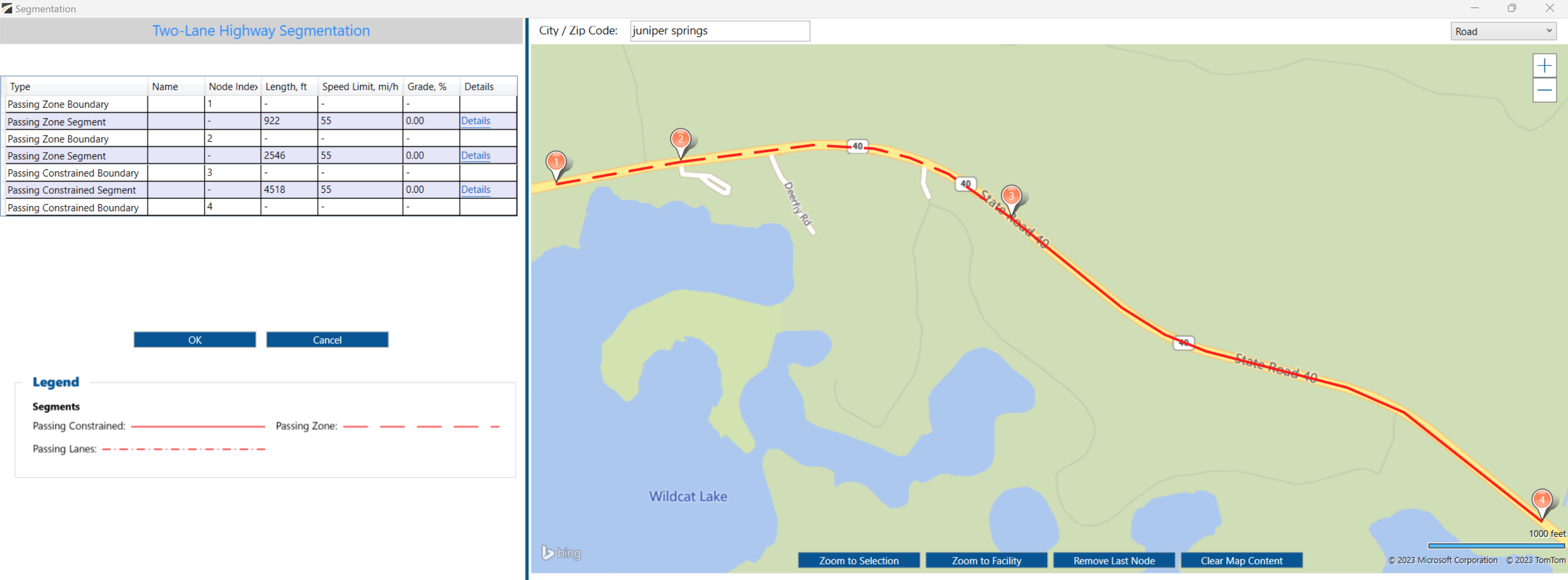
Scope of Highway Analysis
Multilane Highways
Two-lane Highways
– Passing Lane Analysis
– Horizontal Alignment
– Super 2 (2+1 Highways)
Scope of Unsignalized Intersection Analysis
Two-Way Stop Controlled
All-Way Stop Controlled
Roundabouts
Other Analyses
Emissions Report
Network Analysis
Connected Automated Vehicle

Extraordinary Support
Dedicated to fast and quality customer service.
If you have questions, we welcome you to reach out to us.
With any software subscription, you will have access to unlimited technical software support. That includes help with implementing and reviewing HCM-compliant analysis in the HCS.
